About GeoInfo Map
GeoInfo Map is a geospatial information service provided by the Hong Kong Special Administrative Region (HKSAR) Government to the general public, dedicated to facilitate the searching and understanding of geographical locations, the built and natural environments, and public facilities in Hong Kong.
Geospatial information underpins our daily activities. It is also key to effective and efficient decision making processes and operations across government departments. In 2003, the Land Information Centre (LIC) of the Lands Department (LandsD) initiated the development of an intranet platform called the "HKSAR Geospatial Information Hub" (GIH) with an aim to provide convenient access to integrated mapping, land and geographic information within the HKSAR Government. With data contributed by different departments, LandsD designed, developed and implemented the GIH to assist various operations within the Government. Since 2004, the GIH has been proved as a successful e-government implementation promoting data sharing and realizing the concept of a joined-up government. To cater public’s needs for convenient access to official digital map and geospatial information, LandsD further developed this publicly accessible GeoInfo Map service based upon the successful model of GIH.
In GeoInfo Map, base map details and building information as well as the photo maps are provided by the Survey and Mapping Office (SMO) of the Lands Department. Departmental and public facilities information is contributed by relevant Government departments while infrastructure and hosting of this website is provided by the Office of Government Chief Information Officer.
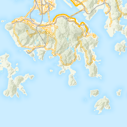
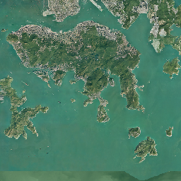
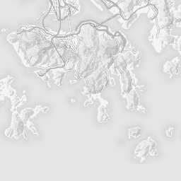
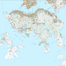
Using GeoInfo Map, users can use the navigation tool bar provided to view maps with different scales and level of details, and pan and zoom to any locations in Hong Kong. Apart from the ordinary maps, users can have aerial views over the locations of Hong Kong with the Ortho Map function.
GeoInfo Map provides a powerful geographic search engine. It allows users to find any locations in Hong Kong by inputting the GPS coordinates, place names, address information, building names, community and public facility names. Users can also search for public facilities by different categories such as "Education and Training", "Culture, Leisure and Sports", etc.
GeoInfo Map also includes useful map tools such as measuring tools and drawing tools. Users can measure a distance on the map, determine the approximate area of an extent, or add a searching plug-in onto the internet browser to speed up users’ location search when browsing other internet contents.
LandsD is delighted to offer GeoInfo Map to the public. With integrated and comprehensive geospatial information, we hope the GeoInfo Map provides convenience and support to the general public. This is only the first step towards a more accessible government service to the public on geospatial information. More geospatial information will be incorporated into GeoInfo Map in the future.